
Tutorials
> Inserting 3D data to existing data
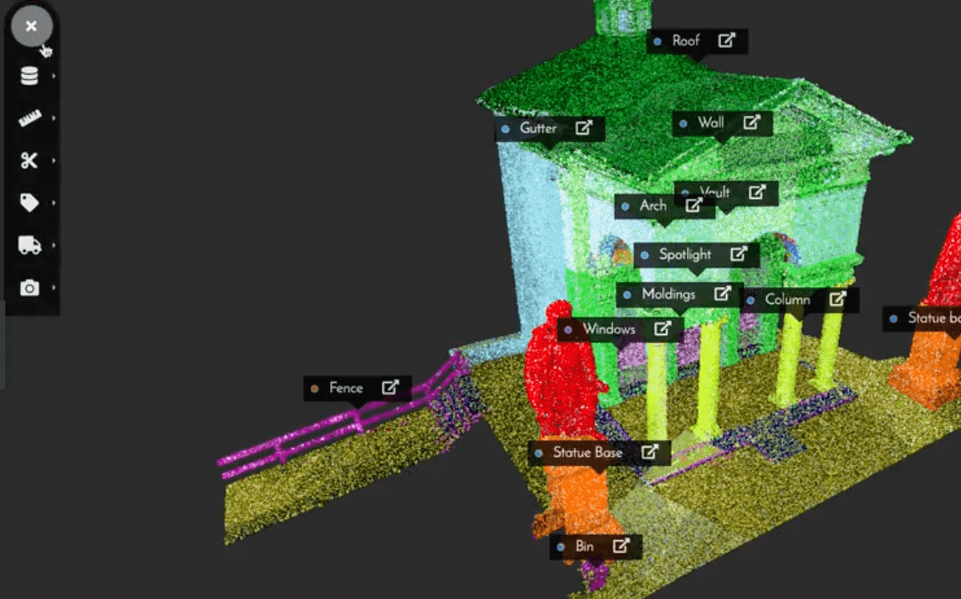
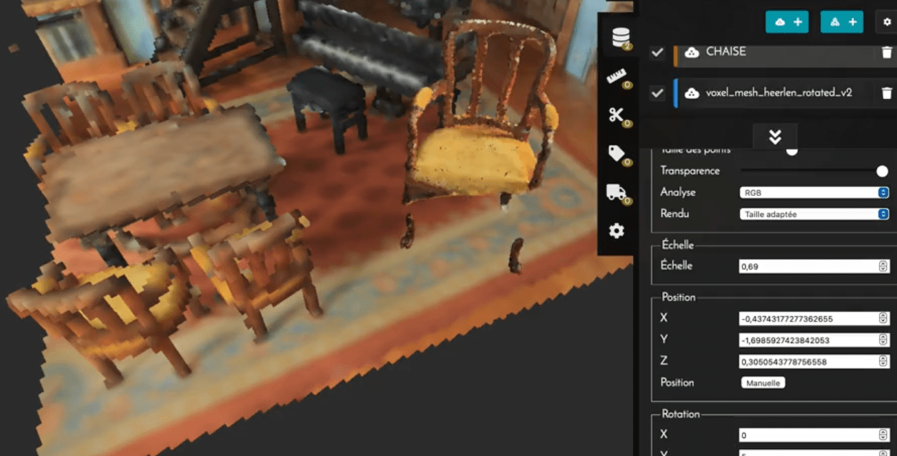
Possibility of combining data in the same reference system.
> Real-time 3D access without loading time
With our technology, you can access highly accurate data without loading time. Only the bandwidth and the configuration of your machine will influence the access time to the finest resolution.
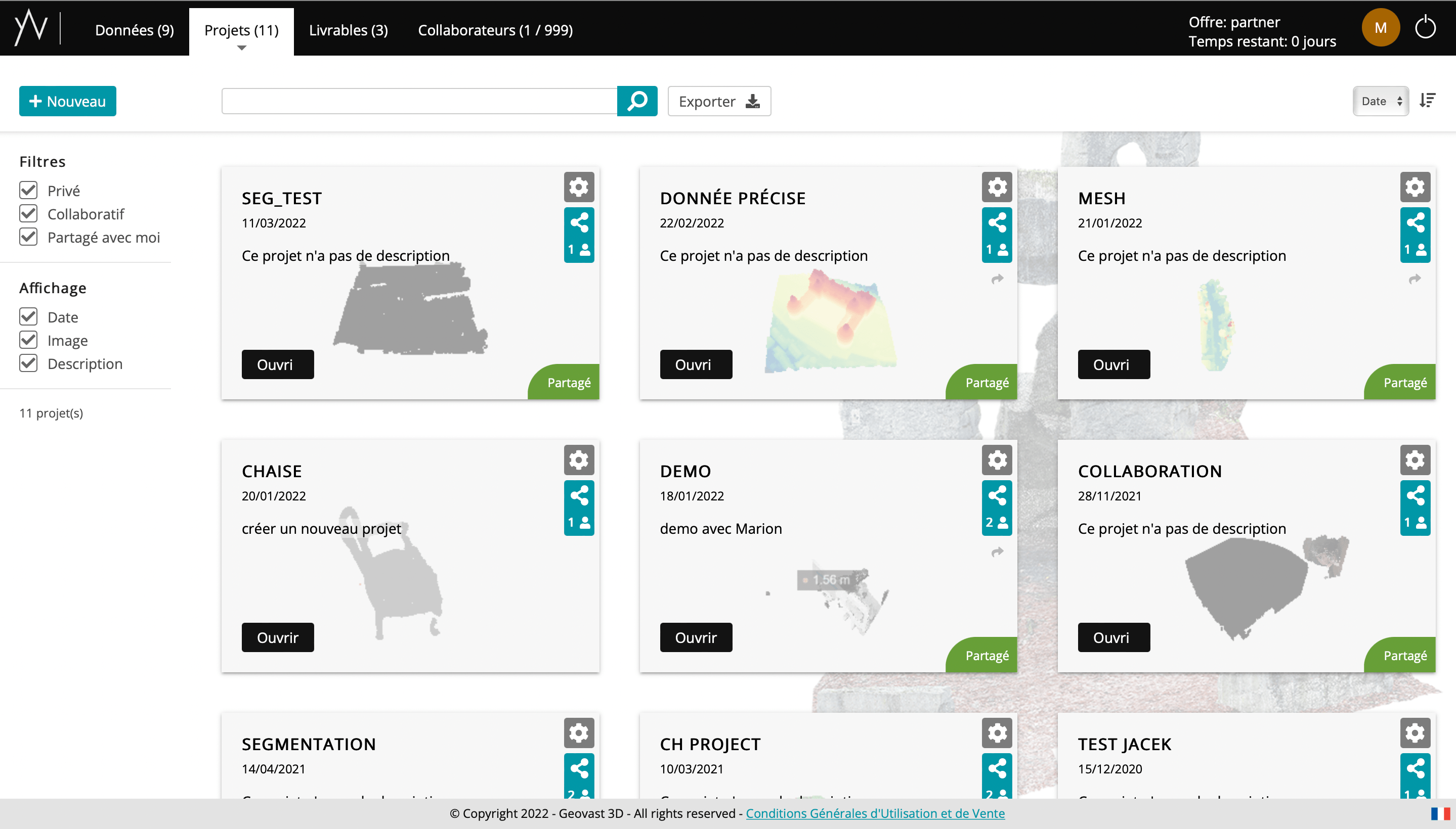
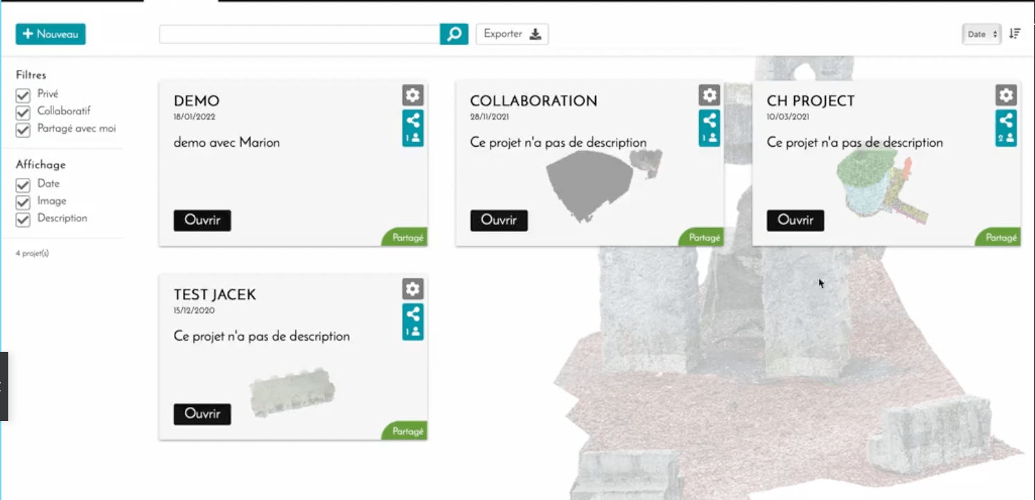
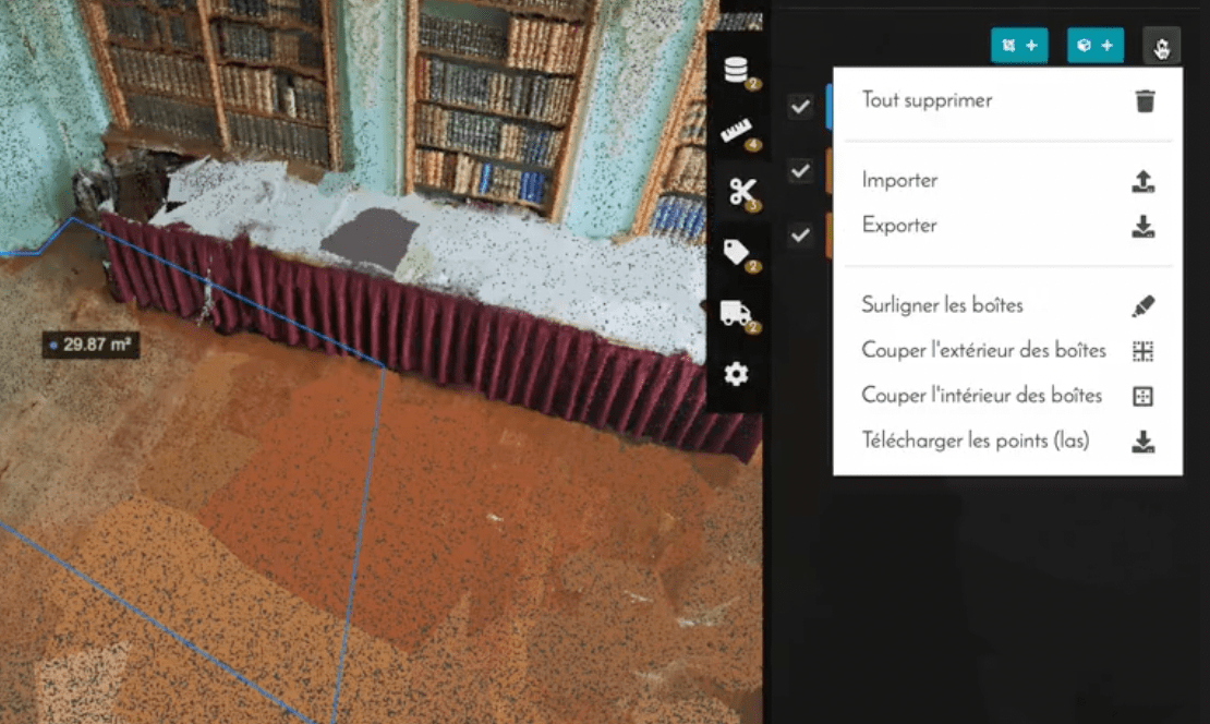
> Data access interface and tools
Take full advantage of a simple, uncluttered interface to manage your 3D data within projects that enable 3D functionality.
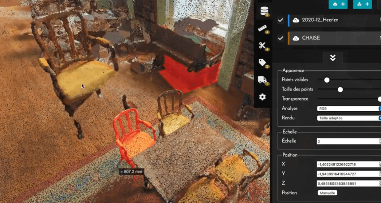
> Positioning and Resizing Tool
Position your data in real time with an interactive tool that allows translation, rotation and scaling.
> CSV export of measurements
All measurements taken can be exported in .CSV format.
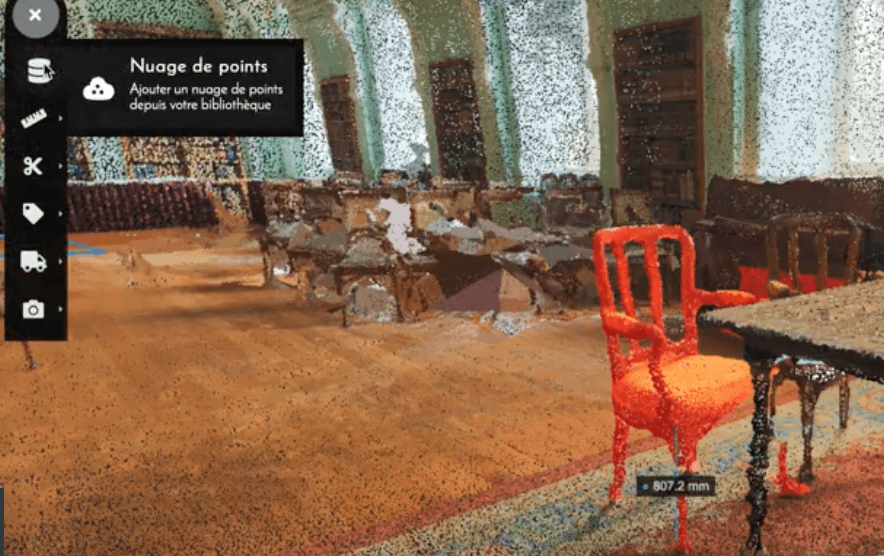
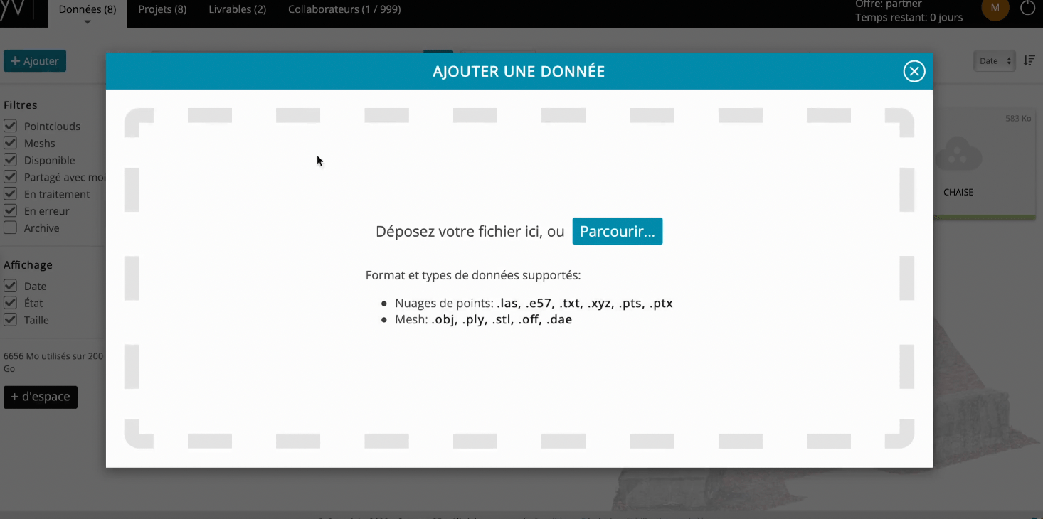
> Import of mesh
Import your 3D meshes, with no size limit, for smooth real-time use.
> Combination of mesh and point cloud
You can combine several point clouds and 3D meshes in the same scene.